Residents across the Greater Toronto Area are in for a hot, humid and stormy stretch of weather this week, with humidex values expected to reach the mid-30s and a multi-day thunderstorm risk that could bring torrential downpours, according to The Weather Network.
Dew points have climbed into the low 20s across southern Ontario, producing the kind of muggy air more typical of the peak of summer. Thursday is forecast to be the warmest day of the stretch, with temperatures feeling like the 30s throughout the region.
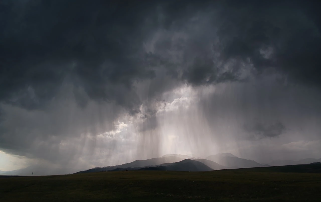
The humidity will also help fuel thunderstorms. Overnight Wednesday into Thursday morning, storms are forecast to track into the region from Michigan, bringing rounds of thunder, lightning and heavy rain across southern Ontario, including the GTA.
Slow, stormy start to Thursday
The pre-dawn hours Thursday will be another very mild night, with lows hovering near 20 C in some communities. In Windsor, overnight lows could stay as warm as 23 C. For comparison, the average low this time of year is 13 C in Toronto and 15 C in Windsor.
Spotty showers and storms may slow the early-morning commute, so commuters across the GTA are advised to plan ahead and leave earlier than usual if needed.
By Thursday afternoon, isolated thunderstorms may develop along a trailing trough and instability, potentially affecting the GTA and areas farther east. The Weather Network says the biggest risk lies in eastern Ontario, though the storms are expected to remain scattered.
Forecasters are also monitoring thunderstorm activity for Thursday overnight, as storm complexes could move in from the U.S. Great Lakes region. However, there is still considerable uncertainty about the severity and timing of those storms over southern Ontario.
The higher risk overnight would be in extreme southwestern Ontario through the pre-dawn hours on Friday.
Cooler air on the way
Once the heat breaks, a sharp change is expected. A deep trough is forecast to spin across Ontario by next Sunday, pushing temperatures well below seasonal values, especially in northern areas of the province.
Most of next week is expected to be cooler than seasonal, with a few more rounds of showers and thunderstorms. Temperatures should then trend back to near seasonal — and possibly above seasonal — for a couple of days next weekend.
Beyond this week, no consistent heat is in sight, and the pattern is expected to remain unsettled at times heading into the final week of June.