
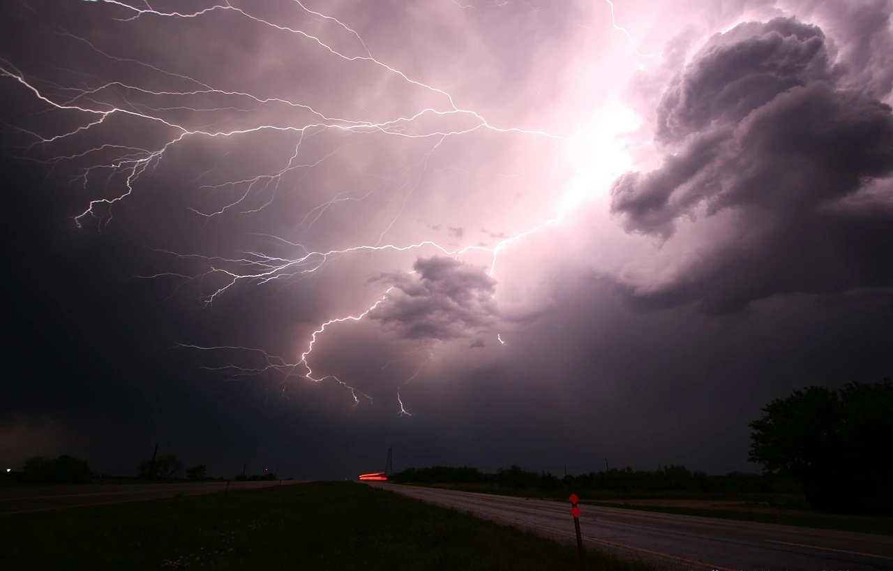
Toronto residents should brace for a rough night of weather as an exceptionally strong June storm is forecast to sweep across southern Ontario from overnight Wednesday into Thursday morning, according to The Weather Network.
The system is expected to bring torrential rainfall, severe thunderstorms and potentially destructive winds to the Greater Toronto Area, with the worst conditions arriving after many people have gone to bed.
Forecasters say the low-pressure system will intensify as it approaches the province, deepening to 990 millibars or lower by Wednesday night. That could challenge records near Windsor for the lowest June air pressure ever measured in the region.
As the storm tracks into southern Ontario, it will pull in a surge of atmospheric moisture, producing heavy rain and embedded thunderstorms. Rainfall is expected to intensify overnight as a cold front moves through.
Heavy rain and flood risk
The most intense storms could drop 50 to more than 60 millimetres of rain in some areas, raising concerns about flooding in low-lying neighbourhoods and places with poor drainage.
With wind shear and rotating updraft potential forecast to reach high or extreme levels, some storms may reach severe thresholds. Forecasters cannot rule out the risk of an isolated tornado as storms move in from Michigan.
Wind warnings have already been issued for southwestern Ontario, while gale warnings are in effect on the American side of Lake Erie. The strongest gusts and highest waves are expected to be pushed onto the Niagara shoreline.
Gusts could top 90 km/h
A strong, low-level jet stream accompanying the rapidly strengthening system will drive unusually fierce winds for this time of year. Gusts of 80 to more than 90 km/h are predicted Wednesday night and early Thursday morning, before easing later in the day.
The highest gusts are expected along Lake Erie's shoreline and over the Niagara Peninsula, where some spots may briefly approach 100 km/h, particularly in and around thunderstorms before sunrise Thursday.
Even after the system departs, blustery conditions are expected to linger, with sustained west winds behind the storm.
When conditions improve
The thunderstorm threat for southwestern Ontario, the GTA and much of central Ontario is expected to persist until late Thursday morning, before improving through the afternoon.
Residents are being urged to stay alert for severe weather watches and warnings overnight, even after heading to bed, and to secure loose outdoor items before the winds arrive. Drivers should also watch for ponding on roads and reduced visibility during the Thursday morning commute.