Markham residents who walk the trails along the Rouge River and its creeks should be careful as the spring thaw gets under way, the Toronto and Region Conservation Authority said on March 3.
In its annual spring safety message, TRCA said this winter's snow is holding more water than last year's, especially in the northern parts of its watersheds. Once temperatures rise in the coming weeks, it said, melting snow and river ice could push water levels in rivers and streams higher than usual.
What this winter left behind
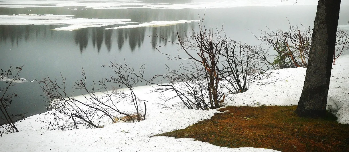
According to TRCA, the winter was colder than last year, with plenty of snow and river ice. Most rivers in its watersheds are covered by about 15 centimetres of ice, similar to a year ago. Snow on the ground averages about 30 centimetres, also similar to last winter, with more in the northern and eastern areas.
The concern is timing. In early spring the ground is often still frozen and cannot soak up meltwater, so it runs straight into rivers. If warm weather arrives quickly and is paired with rain, water can rise very fast and spill over riverbanks, TRCA said. Higher flows can also break up river ice and carry large chunks downstream, where they can pile up into ice jams.
Safety tips
TRCA asked residents to follow these precautions near water:
Call 911 in an emergency; trying to rescue someone from cold or fast-moving water is extremely dangerous
Expect slippery riverbanks, shorelines and trails as snow and ice melt
Avoid recreation in or around water, and stay off ice-covered rivers, ice jams and all bodies of water
Keep children and pets away from rivers and streams
Never drive through a flooded road, since even shallow-looking water may be deeper than it appears
How to check your risk
Homes in low-lying areas or near rivers, streams and shorelines are most vulnerable during the thaw. TRCA's online Flood Plain Map Viewer lets residents check whether their property is in a flood plain, and people can sign up for flood messages at trca.ca/floodmessages.
The conservation authority monitors conditions through its Flood Forecasting and Warning Program. Through winter and early spring, staff compare weather forecasts with river ice and snowpack readings to judge the risk from ice jams, rain and snowmelt, and share that information with the municipalities in its jurisdiction, which include Markham. If conditions point to a possible flood, TRCA issues a public flood message.
TRCA also pointed residents to their local municipality's emergency preparedness information, including how to build a family emergency plan and a 72-hour kit, and to the federal getprepared.ca site.